Earth Through Time · Episode 1
Pangaea: When All the Continents Were One
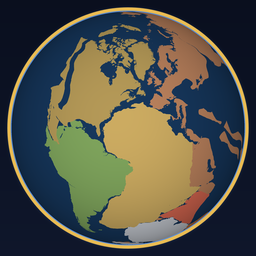
250 million years ago, you could walk from New York to Morocco without getting your feet wet. All the land on Earth was joined in one supercontinent.
Chapters
- Walking to Morocco
- One land, one ocean
- The man who saw the puzzle
- The clues hidden in the rocks
- The great breakup
- India's race north
- The next supercontinent
Pangaea at a glance
One land, one ocean
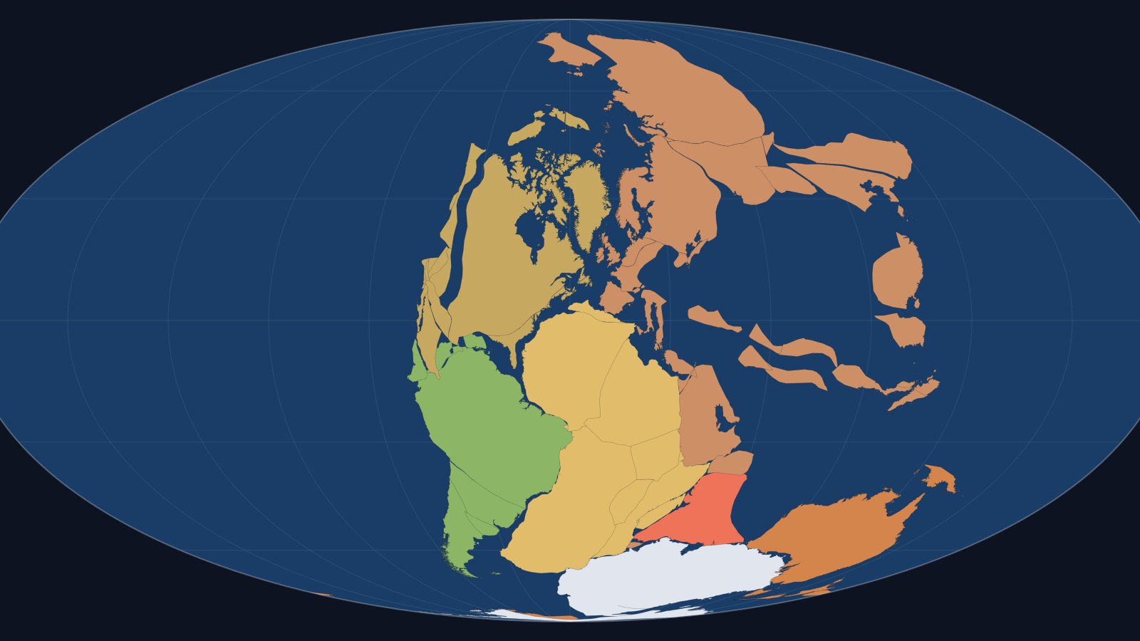
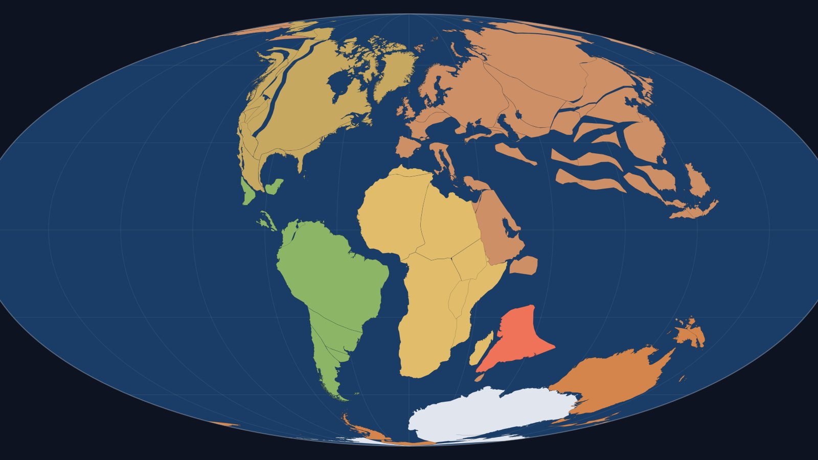
The name comes from Greek: pan means "all" and gaia means "earth." Every continent we know today was part of it. South America nestled against Africa, North America pressed against Europe, and Antarctica, India and Australia huddled together in the south.
Around it lay a single planet-wide ocean, Panthalassa ("all the sea"). The heart of the supercontinent was so far from the coast that rain rarely reached it, and huge deserts spread across its interior.
The man who saw the puzzle
The bulge of Brazil seems to fit into the curve of West Africa. Many people had noticed it, but in 1912 the German meteorologist Alfred Wegener took it seriously. In 1915 he set out his theory of continental drift in a book.
Most scientists rejected it. Their objection was simple: what force could push a whole continent across the ocean? Wegener had no good answer. He died in 1930 on an expedition across the Greenland ice sheet, about 30 years before the world accepted he had been right.
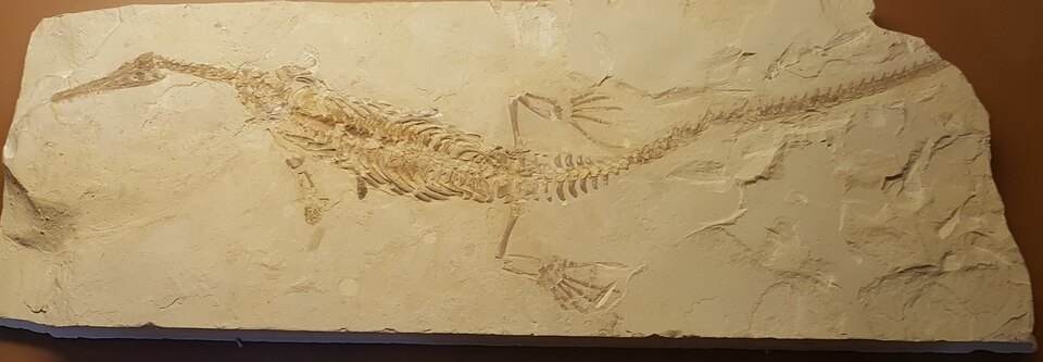
Four clues hidden in the rocks
The great breakup
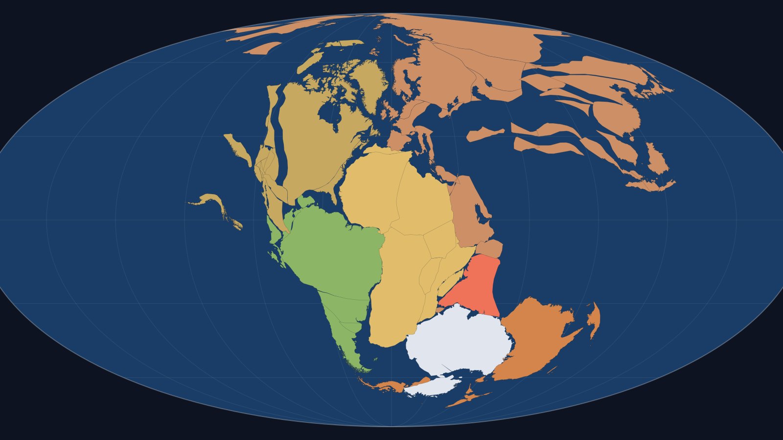
Around 200 million years ago, hot rock rising from deep inside the Earth stretched the crust until it cracked. Pangaea split into Laurasia in the north (North America, Europe and most of Asia) and Gondwana in the south (South America, Africa, Antarctica, Australia and India). Seawater flooded the gap between North America and Africa, and the Atlantic Ocean was born.
India's race north
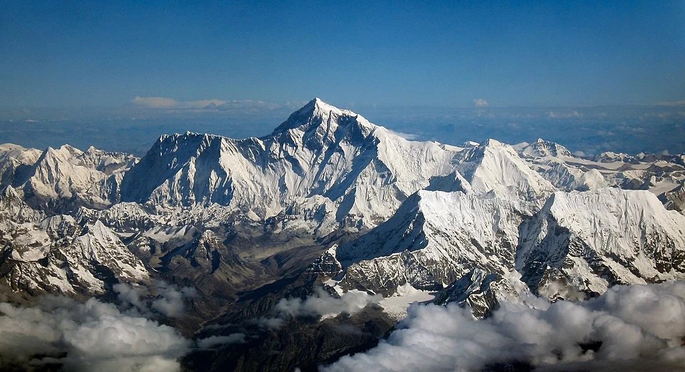
After breaking away from Gondwana, India moved north at up to about 15 centimeters (6 inches) a year, several times faster than continents usually travel. About 50 million years ago it crashed into Asia. The crust had nowhere to go but up, and the Himalayas rose. Limestone that formed on an ancient seafloor now sits near the top of Mount Everest.
The next supercontinent
Pangaea was not the first supercontinent. Rodinia came about a billion years ago, and Columbia before that. Scientists have several ideas for the next one, roughly 200 to 250 million years from now:
Which one do you think will form? Tell us in the comments on the video.
Credits
- Plate reconstructions: PALEOMAP Project (C. R. Scotese), rendered with GPlates.
- Photos via Wikimedia Commons: Alfred Wegener portrait, public domain; Mesosaurus fossil by Ghedoghedo, CC BY-SA 4.0; Mount Everest by shrimpo1967 (derivative work: Papa Lima Whiskey 2), CC BY-SA 2.0.
- Music in the video: Gymnopédie No. 1 (Erik Satie), YouTube Audio Library.